| Version 61 (modified by , 14 years ago) ( diff ) |
|---|

Welcome to rasdaman!
This is the website of the rasdaman project. Rasdaman ("raster data manager") is an array database system (also called "raster database system"). It allows to retrieve and maintain multi-dimensional arrays of unlimited size stored in standard relational databases through an SQL-style query language. The information category "array" appears - as sensor, image, or statistics data - in manifold applications, such as earth sciences, space sciences, life sciences, engineering, and multimedia.
Rasdaman allows to quickly set up array-intensive services which are distinguished by their flexibility, speed, and scalability. In conjunction with the petascope package implementing OGC standards, rasdaman represents the most powerful, flexible, and scalable geo raster server available.
The petascope plug-in to rasdaman, which is part of the distribution, offers OGC standards based services on multi-dimensional geo raster data. Its Web services provide access to original or derived sets of geospatial raster information, in forms that are useful for client-side rendering, input into scientific models, and other client applications. Interfaces are strictly based on the open, interoperable standards of the Open GeoSpatial Consortium (OGC). Petascope implements all standards contained in the WCS suite for gridded coverages, i.e., raster data:
- the Web Coverage Service (WCS) Standard for simple data subsetting.
- the Web Coverage Processing Service (WCPS) Standard which defines a language for the extraction, processing, and analysis of raster data (see also this WCPS info page); petascope is the WCPS reference implementation.
- the WCS Transaction Extension (WCS-T) Standard for updating raster data offered by a WCS-conformant service.
EarthLook is a demonstration site showcasing rasdaman and petascope in a variety of 1-D to 4-D geo use cases.
Commercial Support
A dedicated research spin-off company, rasdaman GmbH, provides software enhancements, expert consultancy, participation in projects, and joint ventures on a commercial basis to foster widespread use of rasdaman.
PS: Greetings to all rastafarians! wha'ppen, man?
Attachments (6)
-
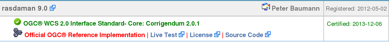
rasdaman-wcs-core-RI.png
(25.3 KB
) - added by 10 years ago.
OGC listing of rasdaman as WCS Core Reference Implementation
-
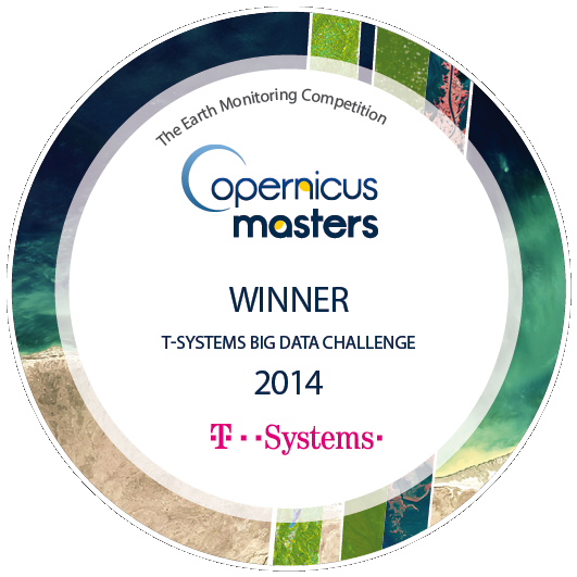
copernicus-masters-winner-emblem.png
(205.1 KB
) - added by 9 years ago.
Big Data Challenge winner in the international Copernicus Masters competition
-
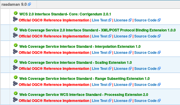
rasdaman-OGC-RI.png
(60.3 KB
) - added by 7 years ago.
rasdaman is OGC coverage reference implementation
-
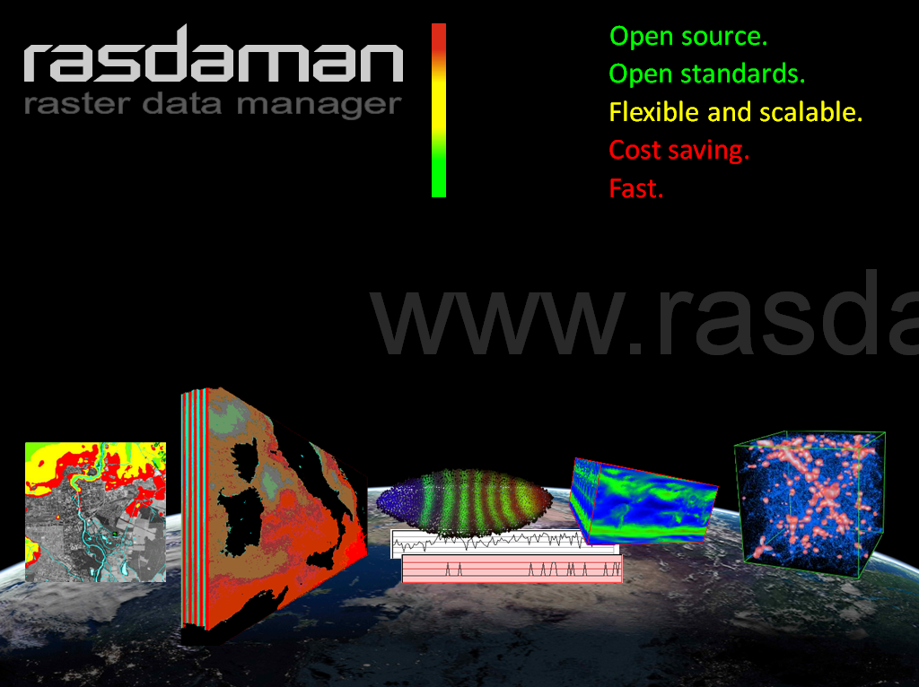
rasdaman-collage.png
(535.7 KB
) - added by 6 years ago.
Earth, Space, Life science datacubes…and beyond - with the Array Analytics Server, rasdaman
- TechConnect-Award-Logo_FREIGESTELLT.png (75.6 KB ) - added by 5 years ago.
- rasdaman-black-text+cubes.png (70.7 KB ) - added by 4 years ago.
Download all attachments as: .zip